GPS metadata, also known as geotagging data, is location information embedded in your photos. This data includes precise coordinates (latitude and longitude), altitude, and sometimes even the direction the camera was facing when the photo was taken.
If you need to do the reverse — write GPS coordinates into a photo that has none — you can geotag photos online right in your browser, no software required.
Understanding EXIF Data
EXIF (Exchangeable Image File Format) data is metadata stored within image files that contains information about how the photo was taken. This includes camera settings, date and time, GPS coordinates, camera information, and software details.
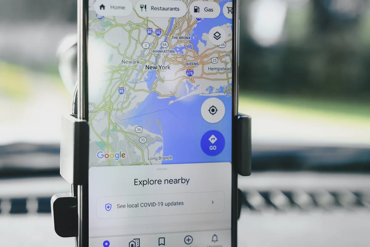
How GPS Metadata is Recorded
Modern smartphones and many digital cameras have built-in GPS receivers that automatically record location data when you take a photo. This happens when location services are enabled, the camera app has permission to access location data, your device can receive GPS signals, and the photo is saved with EXIF data enabled.
Extracting GPS Metadata
There are several ways to extract GPS metadata from your photos:
Method 1: Using GeoTag.world (Recommended)
Our free online Photo Geotagging Tool makes it easy to extract GPS metadata from any photo:
- Upload your photo to GeoTag.world
- View the extracted GPS coordinates and other EXIF data
- Edit or update the location information if needed
- Download the updated photo with new metadata
Method 2: Built-in Device Tools
Most devices have built-in ways to view location data:
- iPhone: Photos app → Select photo → Swipe up → View location on map
- Android: Google Photos → Select photo → Info → Location
- Windows: File Explorer → Right-click photo → Properties → Details
- Mac: Preview → Tools → Show Inspector → GPS tab
Privacy Considerations
GPS metadata can reveal sensitive information about your location and movements. Always remove GPS metadata before sharing photos on social media or with strangers. This data can reveal your home address, workplace, and daily routines.
Best Practices for GPS Metadata
- Keep location services enabled for accurate geotagging
- Check GPS accuracy before taking important photos
- Remove sensitive location data before sharing
- Use consistent naming conventions for location data
- Backup your photos with metadata intact
Common Use Cases
- Travel Photography: Document your journeys with precise location data
- Real Estate: Include location data in property photos for accurate listing information
- Forensic Analysis: Use GPS metadata as evidence in legal cases and investigations
- Content Creation: Enhance your blog posts and social media with accurate location information
GPS metadata is a powerful tool for photographers and content creators, but it requires understanding and careful management. By following the tips in this guide, you can make the most of location data while protecting your privacy.
How Different Devices Record GPS Metadata
Understanding how your specific device captures and stores GPS data helps you work with it more effectively.
iPhone (iOS)
iPhones record GPS metadata inside the EXIF block of both JPEG and HEIC files. When you shoot in HEIC (the default format since iOS 11), the coordinates are stored in the same standardized GPS IFD fields as JPEG, so any EXIF-aware tool can read them. The iPhone uses a combination of true GPS satellites, Wi-Fi positioning, and cell tower data to determine location — a system Apple calls "Location Services." The result is typically 3–5 meter accuracy in open sky. One nuance: iOS records GPS coordinates using the WGS84 datum and stores them as decimal-degree values split into degrees, minutes, and seconds internally, then assembled back by reading software. The altitude field is also populated using the device barometer fused with GPS altitude, making iPhone altitude data more reliable than GPS-only devices.
Android
GPS metadata behavior on Android varies significantly by manufacturer and even by camera app version. Stock Android (Google Pixel) follows the same EXIF GPS IFD standard. Samsung, Xiaomi, and other OEMs sometimes write additional proprietary metadata tags alongside standard GPS fields. The accuracy depends heavily on the chipset: flagship Android phones with dual-frequency GPS (L1+L5) can achieve sub-meter accuracy, while budget devices may only reach 5–10 meters. One important difference from iPhone: when you share a photo via certain Android apps, some manufacturers strip GPS automatically as a privacy feature — the behavior is not consistent across devices.
DSLR and Mirrorless Cameras
Most DSLRs and mirrorless cameras do not have built-in GPS. To record location data you have two options. First, use a manufacturer-specific GPS accessory that connects via the hot shoe or a dedicated port — examples include the Canon GP-E2 and Nikon GP-1A. These write coordinates directly into the EXIF while you shoot. Second, use Bluetooth GPS via a companion smartphone app (Canon Camera Connect, Nikon SnapBridge, Sony Imaging Edge Mobile) which relays location from your phone to the camera body. The downside of tethered Bluetooth GPS is a potential 30–60 second delay before the first lock, meaning your earliest shots in a session may lack GPS or have stale coordinates from the previous location.
See what your photo is actually revealing
Drop a photo to view its GPS location and full EXIF. Everything runs in your browser — the file never leaves your device.
Read in your browser. Your photo is not uploaded or stored.
Drones
Consumer and prosumer drones almost always embed GPS in every photo and video frame. The flight controller has a high-accuracy GPS receiver for flight stabilization, and this same data is written into photo EXIF. DJI drones, for example, write GPS coordinates, relative altitude (above takeoff point), absolute altitude (above sea level), and even the gimbal direction into proprietary XMP metadata alongside standard EXIF fields. Because drones operate in open sky, GPS accuracy is consistently excellent — typically 1–3 meters horizontal. The companion app also logs a flight record that can be used to retroactively verify or correct photo coordinates.
GPS Metadata vs Other Location Data
GPS coordinates stored in EXIF are just one way a photo can be associated with a location. Understanding the differences matters when accuracy is important.
EXIF GPS vs IP Geolocation
When you upload a photo to a website, the server can log your IP address and estimate your location from it. This is IP geolocation. The accuracy of IP geolocation is typically city-level — within 10–50 kilometers. It identifies where your internet connection is routed, not where you physically are. A VPN, corporate proxy, or mobile carrier routing can place you in a completely different city or country. EXIF GPS, by contrast, records where the camera physically was when the shutter was pressed, accurate to a few meters. The two data points measure entirely different things and should never be confused.
EXIF GPS vs Cell Tower Triangulation
Cell tower triangulation estimates position by measuring signal strength from multiple nearby towers. Urban areas with dense tower coverage can yield 50–300 meter accuracy. Rural areas may only achieve 1–5 kilometer accuracy. Law enforcement can obtain cell tower records from carriers to establish approximate location history. EXIF GPS is vastly more precise and is captured at the exact moment of the photo, making it far more useful for establishing where a specific image was taken.
Why EXIF GPS Is the Most Accurate
EXIF GPS data is the gold standard for photo location because it is recorded at the moment of capture, tied directly to the image file, and accurate to a few meters. Unlike IP geolocation or cell data, it cannot be easily confused by network routing. The main caveat is that EXIF GPS can be manually edited after the fact — which is why forensic analysis of GPS metadata always looks for corroborating evidence rather than treating coordinates as absolute proof.
Common GPS Metadata Problems and How to Fix Them
Photo Shows Wrong Location (GPS Drift)
GPS drift happens when a device reports a location that is off by hundreds of meters or more. This most commonly occurs at the start of a shooting session before the GPS receiver has acquired enough satellites for a solid lock. The device may use cached coordinates from the last known location, which could be your home or office from hours earlier. The fix: wait 30–60 seconds after opening the camera app before taking your first shot, especially if you have moved to a new location. On iPhones, the camera app shows a small location indicator — wait until it stops pulsing before shooting location-critical images.
No GPS Data Found (Indoor Shot, Airplane Mode, Privacy Settings)
If your photo has no GPS data, the most common causes are: (1) the photo was taken indoors where satellite signals cannot penetrate; (2) the device was in airplane mode; (3) the camera app does not have location permission; or (4) a privacy setting or app stripped the metadata after capture. Check your camera app's location permission first. If the photo was taken indoors, you can manually add approximate coordinates using GeoTag.World — look up the building's address in Google Maps, right-click to get coordinates, and embed them. This gives you a useful approximate location even without a precise GPS fix.
Coordinates Off by Miles (Time Zone Issue on Older Cameras)
Some older cameras and GPS accessories store timestamps in local time but without a time zone offset. When GPS track log matching software tries to synchronize photos with a track log, a mismatch between the camera's local time and the GPS device's UTC time can shift coordinates by hours of travel. The result is coordinates that are many miles from the actual location. The fix: always photograph a GPS device screen or a phone displaying the time at the start of each shoot. Note the exact offset between your camera clock and GPS time, then apply that correction when matching photos to tracks.
How to Use GPS Metadata to Organize Your Photo Library
GPS coordinates embedded in your photos can power automatic organization that would otherwise take hours of manual work.
Create Location-Based Albums Automatically
Both Google Photos and Apple Photos read EXIF GPS data and automatically group images by location. Google Photos creates "Trips" and location-based memories from your GPS data without any manual input. Apple Photos shows a Places view in its sidebar that displays your photos on a map, automatically clustered by city and country. If your older photos lack GPS data, adding coordinates retroactively with GeoTag.World will immediately make them appear in these location views.
Sort by Country and City in Lightroom
Adobe Lightroom Classic has a Map module that plots all GPS-tagged photos on a world map. You can click any cluster to see the photos from that location. The metadata browser lets you filter by country, state/province, and city — fields that Lightroom populates automatically by reverse-geocoding your GPS coordinates. To make this work for photos that lack GPS, use the Map module's drag-and-drop feature: drag a photo onto the map to assign coordinates, or import a GPS track log to match coordinates automatically.
Make Photos Searchable by Location
When photos have GPS metadata, tools like Google Photos, Apple Photos, and Lightroom can search by location name. Typing "Kyoto" or "Grand Canyon" returns every photo you took near those places, even if you never typed those words anywhere in your file names or captions. This search capability depends entirely on GPS coordinates being present in the EXIF. It is one of the most practical reasons to geotag your entire library — turning thousands of unsorted images into a searchable, location-aware archive.