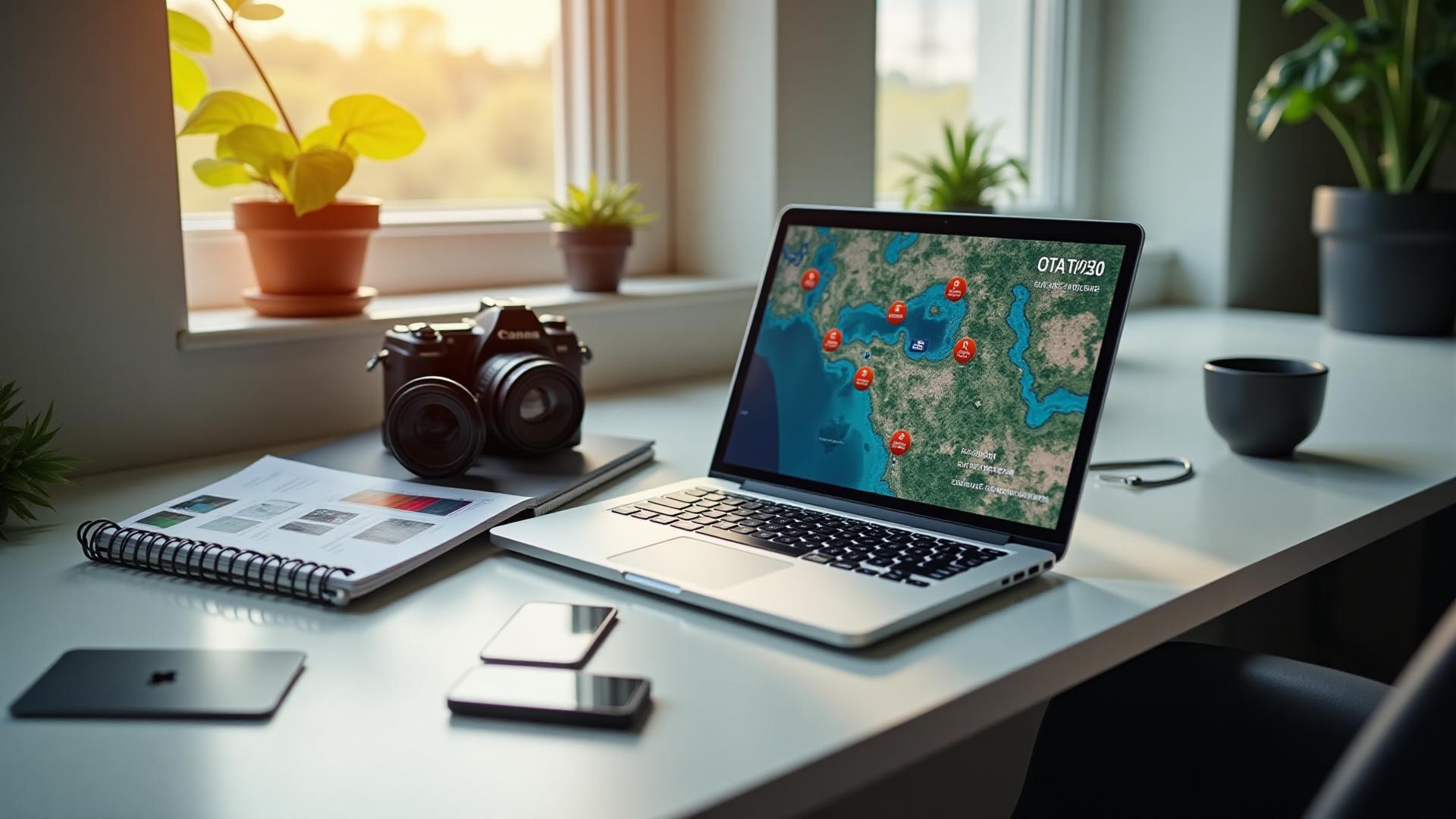
Find Location from Photo: Free GeoTag & Image Location Finder
GeoTag.World is a powerful and easy-to-use photo geotag tool that helps you find the location from a photo in just seconds. Extract GPS coordinates from images and see exactly where photos were taken on Google Maps.
Perfect for travelers, photographers, and bloggers. Get latitude and longitude from any image with no sign-up required. Simply upload your photo and instantly reveal the location — quickly, accurately, and securely.
Smart Upload
Drag & drop with instant GPS detection
GPS Extraction
Automatic coordinate & location data
Bulk Export
Download with preserved metadata

Start Processing Your Images - 100% Free
Upload your geotagged photos and let our smart processing extract GPS metadata automatically. No registration, no payment required - completely free to use!
Drag & drop your geotagged images
or
Powerful Features
Everything you need to process, edit, and manage your geotagged images with professional-grade tools.
GPS Coordinate Extraction
Automatically extract precise GPS coordinates from your geotagged images with high accuracy.
Metadata Editing
Edit GPS coordinates, add keywords, descriptions, and other metadata with our intuitive interface.
Batch Processing
Process multiple images simultaneously with our efficient batch processing system.
Privacy First
All processing happens locally in your browser. No data is stored on our servers.
Lightning Fast
Optimized algorithms ensure quick processing of your images without quality loss.
Image Preview
Real-time preview of your images with thumbnails and detailed file information for easy management.
How It Works
Process your geotagged images in three simple steps. No registration required, completely free to use.
Upload Images
Drag and drop your geotagged images or browse to select them. Supports JPG, PNG, HEIC, and more formats.
Edit Metadata
Review and edit GPS coordinates, add keywords, descriptions, and other metadata using our intuitive interface.
Download Results
Download your processed images with embedded metadata. All changes are permanently saved to the image files.
Ready to Get Started?
Upload your first image and experience the power of our processing tools.
Support & Help
Need help? We're here to assist you with any questions or issues you might have.
Frequently Asked Questions
What image formats are supported?
We support JPG, JPEG, PNG, HEIC, WebP, BMP, TIFF, and SVG formats. All major image formats with EXIF data are compatible.
Is my data secure and private?
Yes! All processing happens locally in your browser. We don't store, upload, or access your images or metadata. Your privacy is our top priority.
Do I need to create an account?
No account required! Our service is completely free and doesn't require any registration. Just upload and start processing immediately.
Can I process multiple images at once?
Absolutely! You can upload and process multiple images simultaneously. Our batch processing feature handles large collections efficiently.
What happens if GPS data is missing?
If GPS data is missing, you can manually add coordinates using our editing interface. We also provide reverse geocoding to convert addresses to coordinates.
Is there a file size limit?
There's no strict file size limit, but very large images may take longer to process. We recommend images under 50MB for optimal performance.